


Scandinavian Waters Necktie, Bathymetric Chart Contour Map Silk Tie
$ 45.00
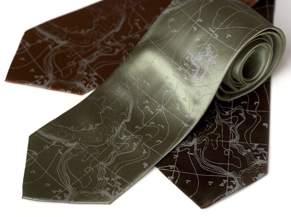
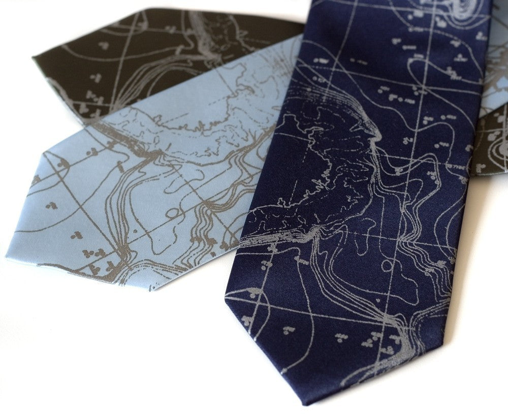
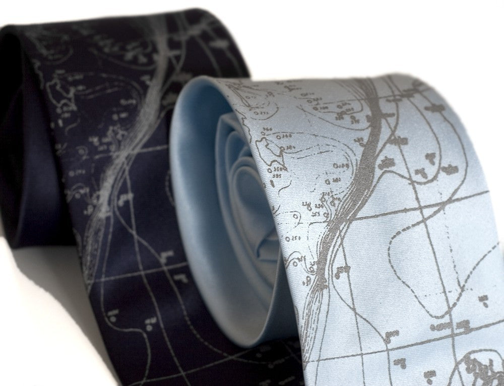
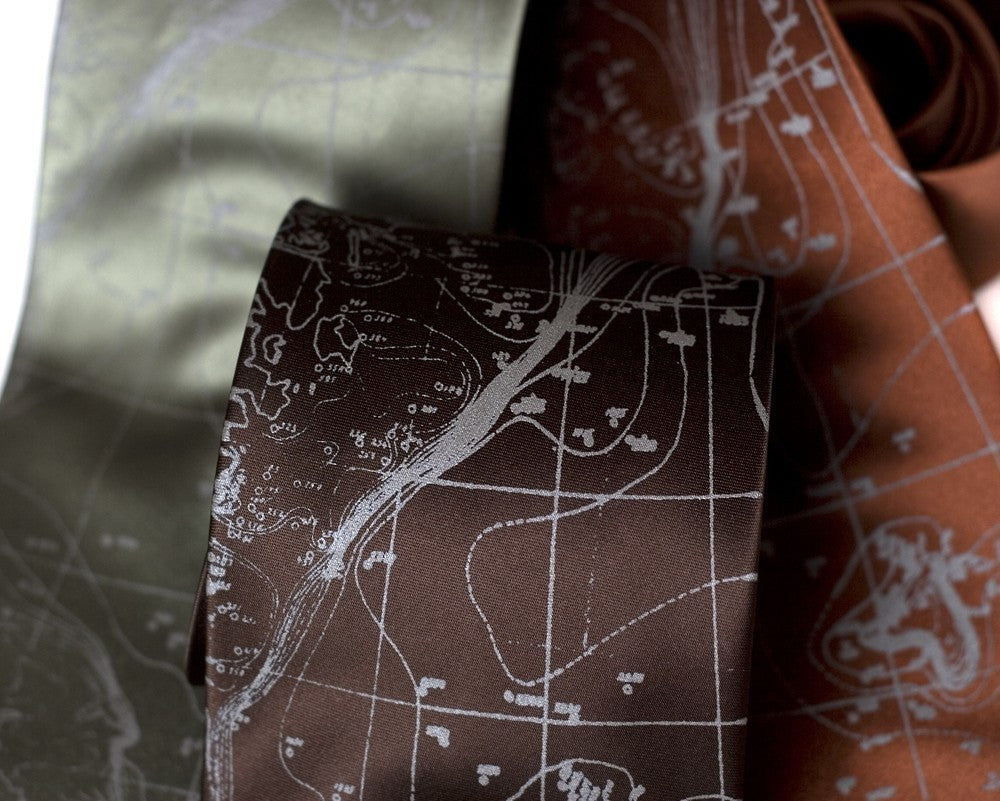
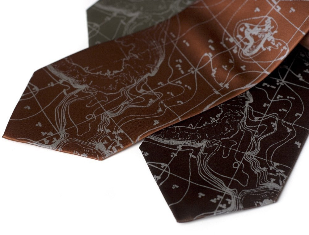
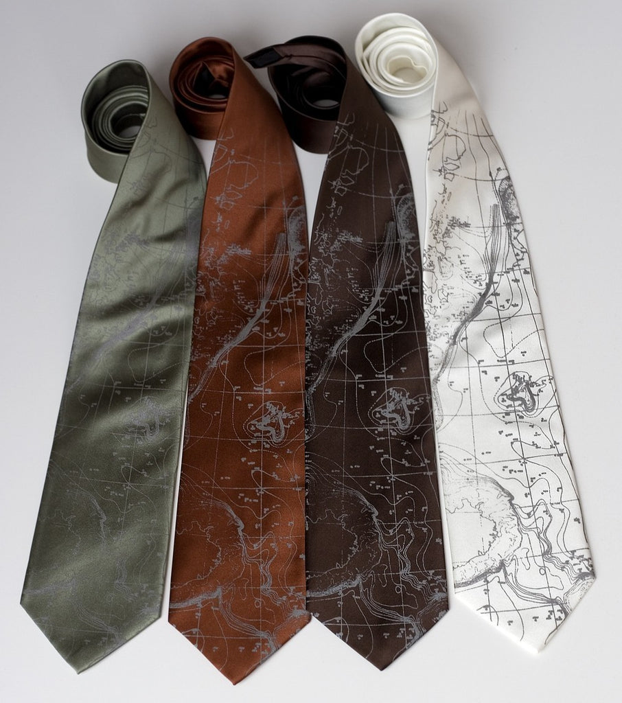
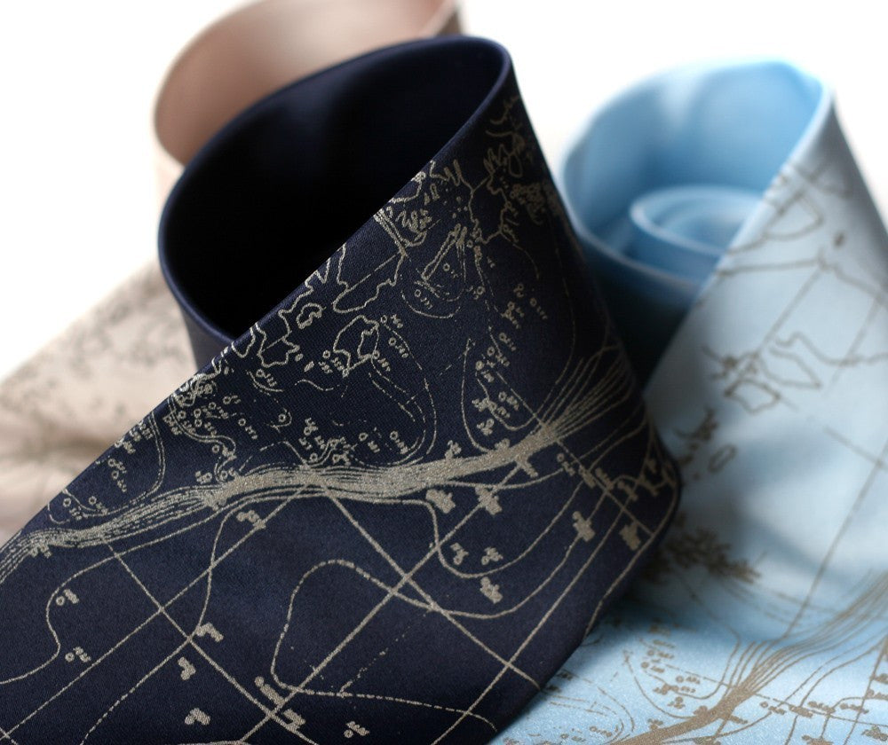
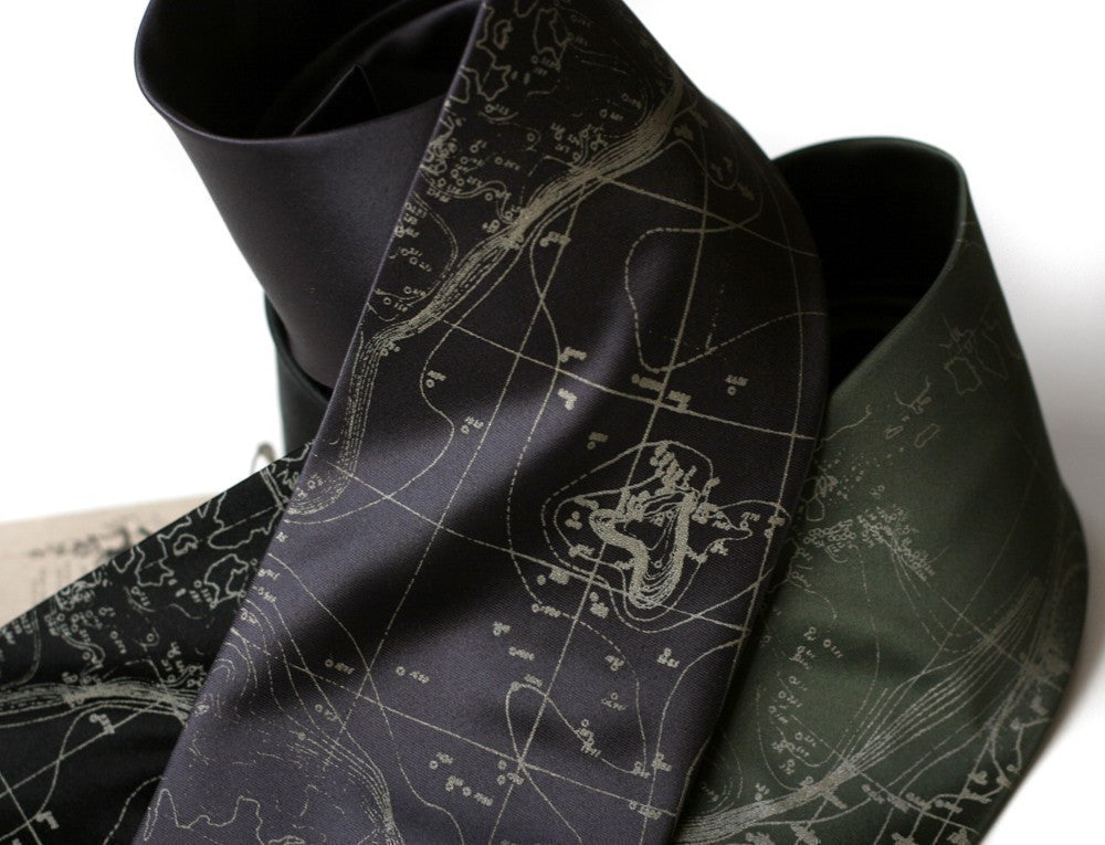
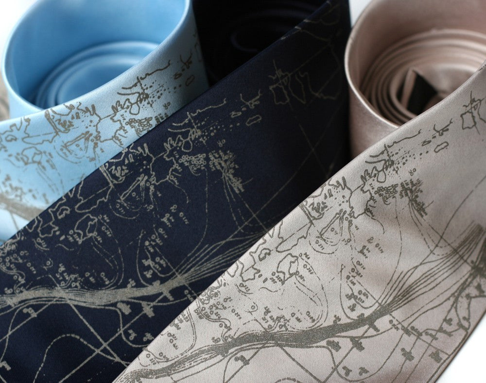
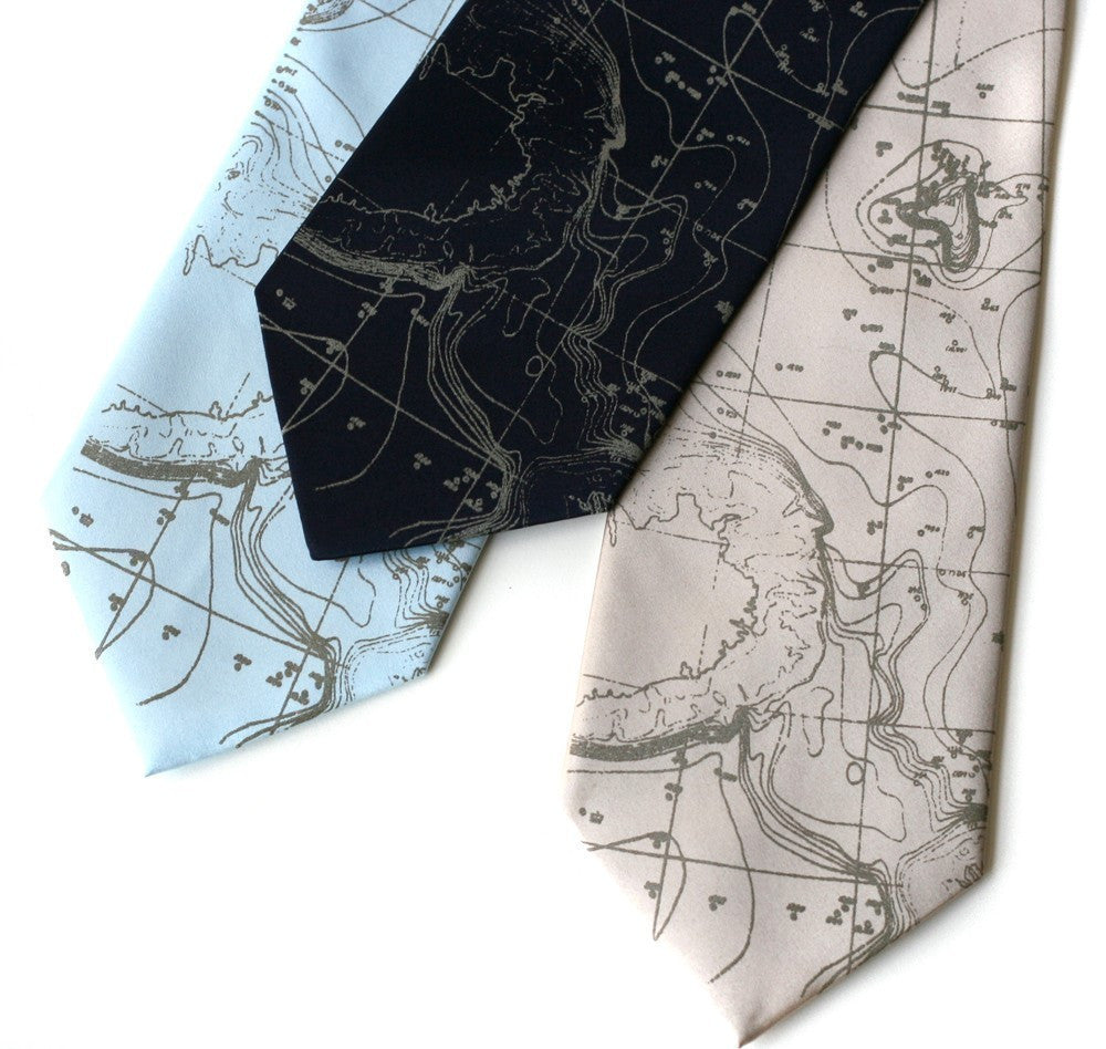
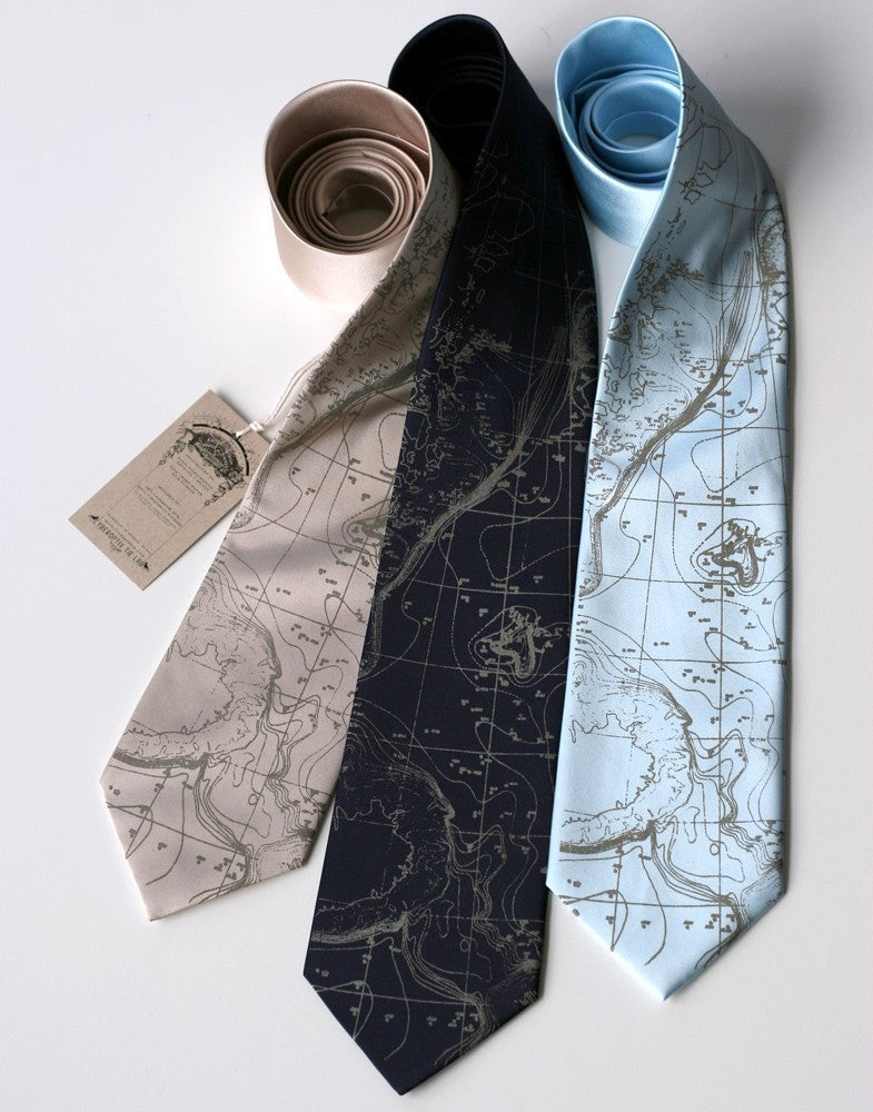
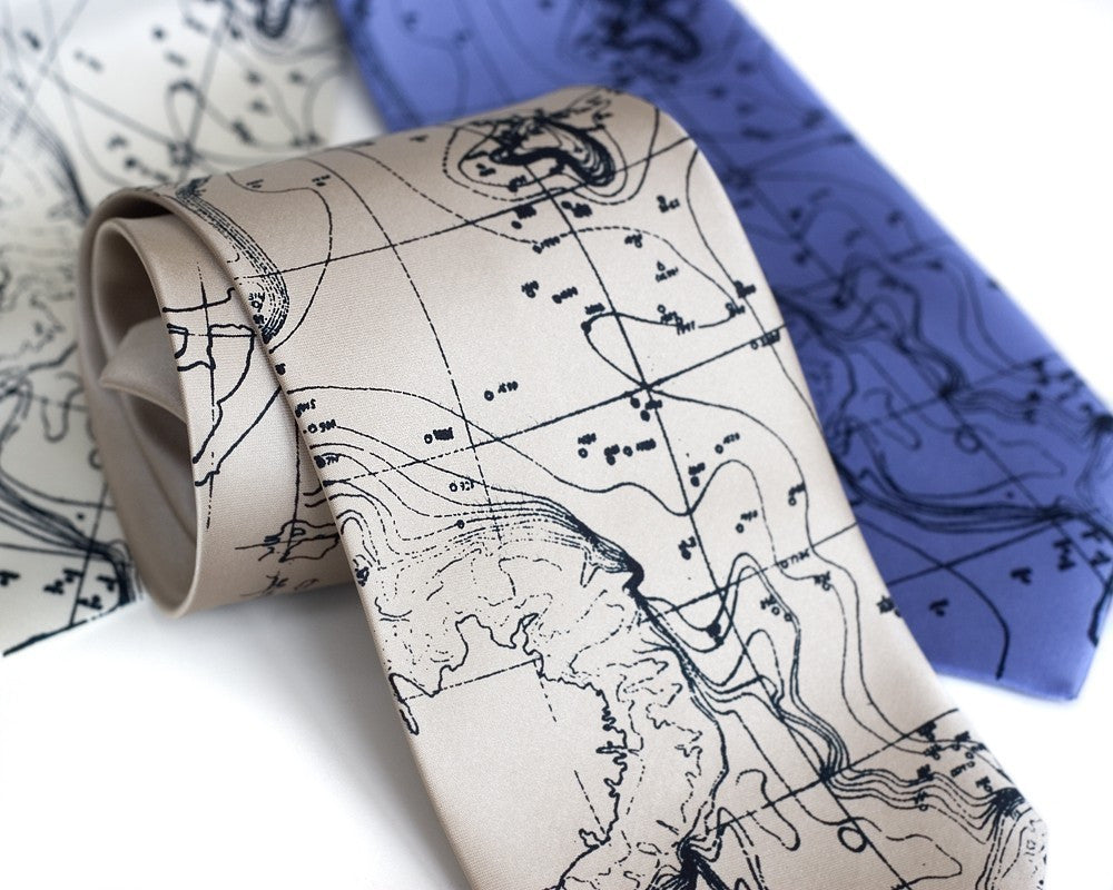
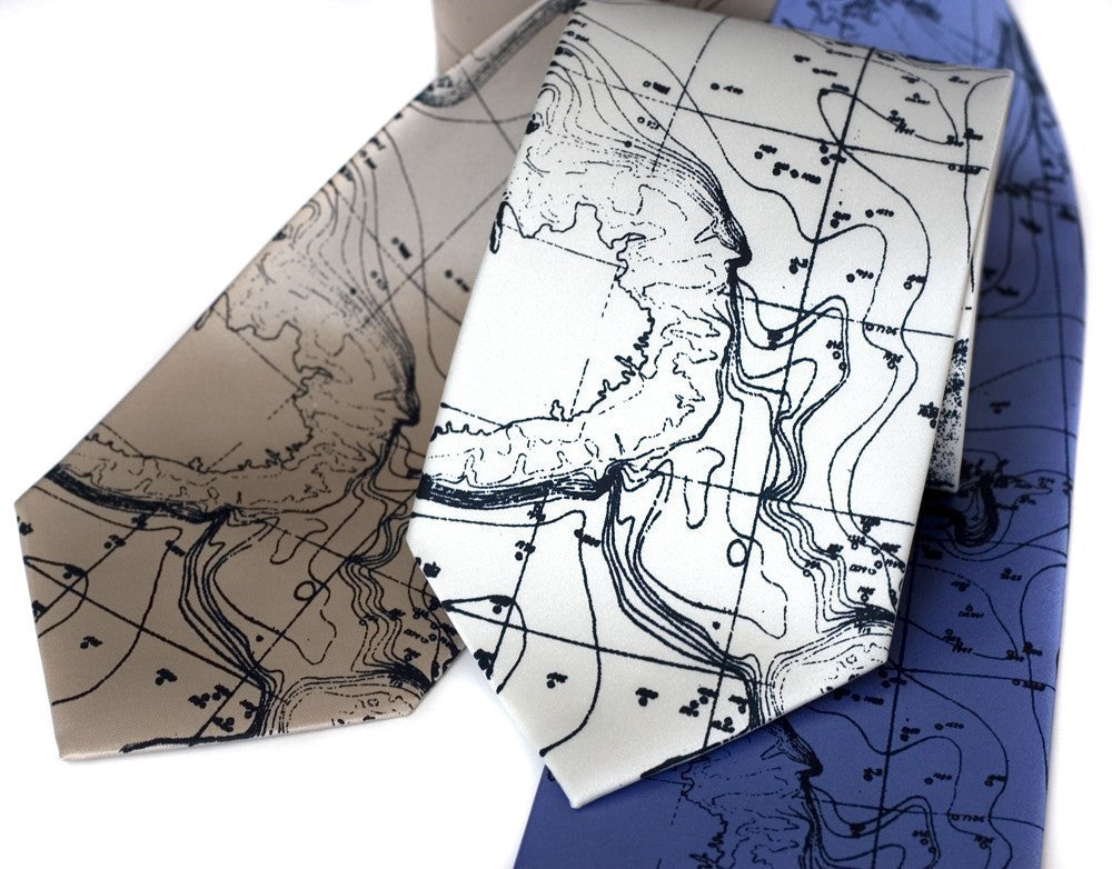
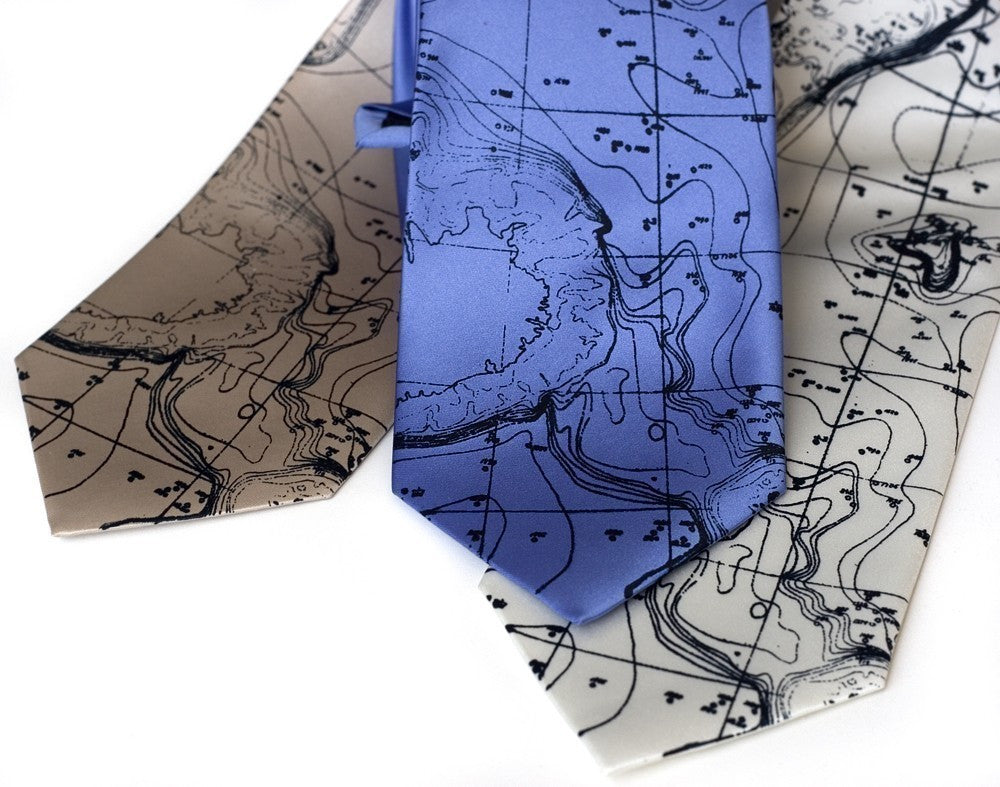
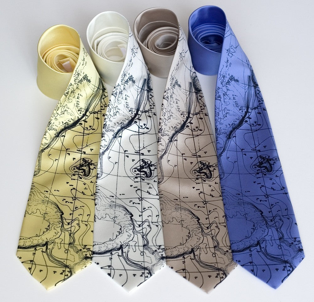
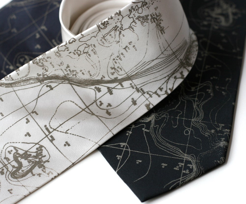
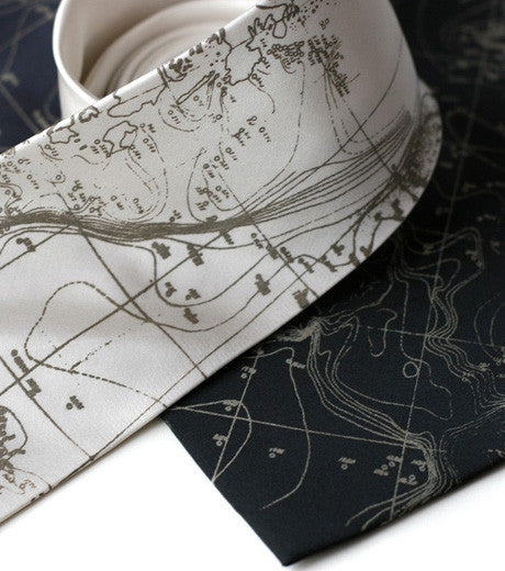
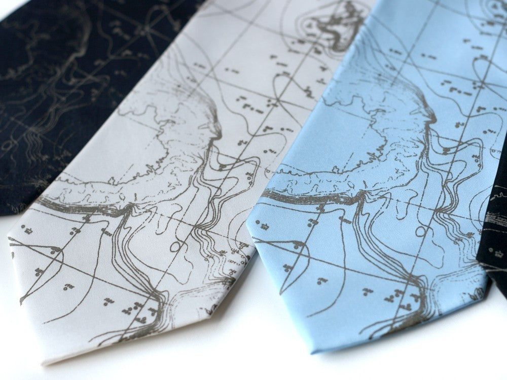
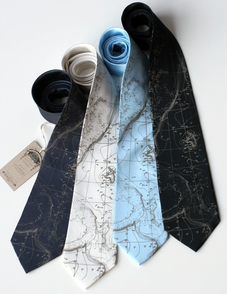
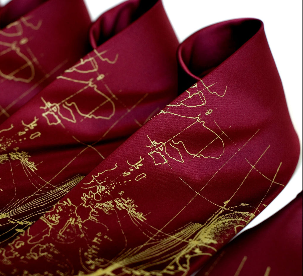
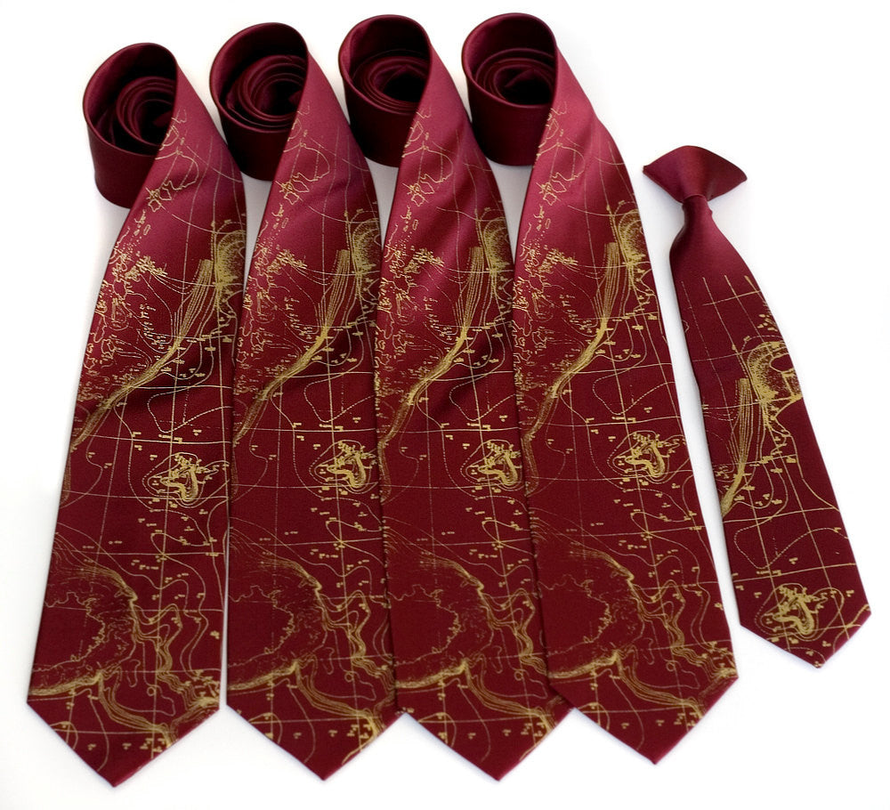
Scandinavian Waters Necktie, Bathymetric Chart Contour Map Silk Tie, "Topographical Error" Print. A large area of the tie is printed with distressed remnants of 1900’s sea-depth estimates taken in Scandinavian waters. These levels are rapidly changing now due to climatic shift.
• Pattern: Norwegian Sea floor map.
• Fabric: 100% silk
• Printing ink: Non-toxic, waterbased ink.
• Print size: ~16" tall.
• Tie Size: Standard or Narrow.
• Print Color: dove or navy.
• Tie Color: Your choice from dropdown menu.
• Care: Gently spot clean or dry clean.
• Creases and folds? Iron medium.
Perfect gift for residents and visitors of Norway, Iceland, Sweden, Finland, Spitsbergen, Denmark, Scotland!
A bathymetric chart is the submerged equivalent of an above-water topographic map. Bathymetric charts are designed to present accurate, measurable description and visual presentation of the submerged terrain.
Make this design uniquely yours by choosing custom ink and fabric colors.
If you would like help from the pros when choosing custom colors to match please email us at orders@cyberoptix.com
You can also call 855-LAB-TIES(522-8437) during Monday-Friday 9:00am-5:00pm


Brag to your friends:
Tweet Pin it!